AI for Safer, Smarter Cities
Enhance public safety, optimize urban mobility, and manage events better with AI-powered video analytics designed for city-scale deployments.
Scalable Intelligence for Urban Environments
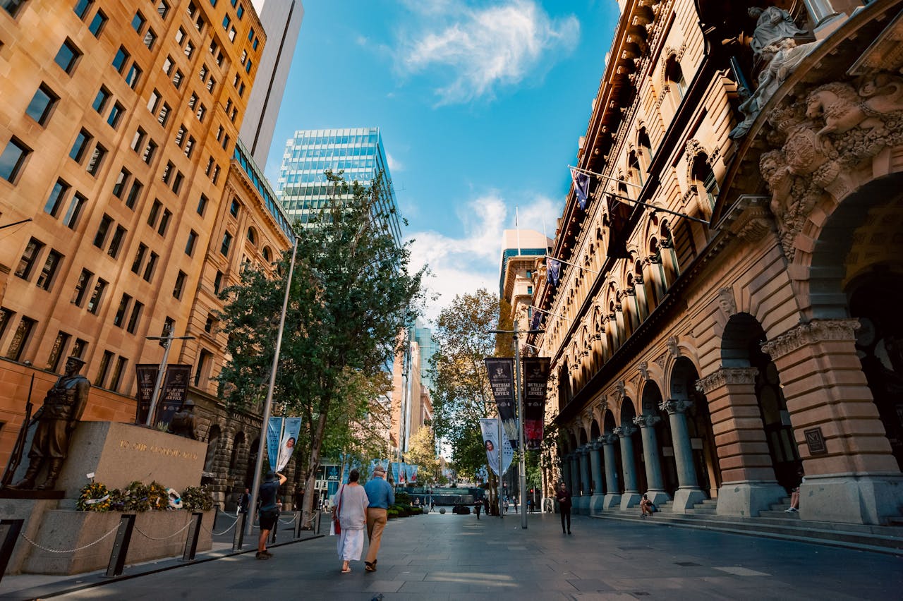
City administrators face growing challenges — from traffic congestion and vandalism to public safety and operational costs. AerVision’s platform enables real-time monitoring, crowd analysis, and incident detection across streets, plazas, and transport hubs. With powerful automation tools and privacy-aware tracking, cities can make informed decisions that improve quality of life and reduce operational burden.
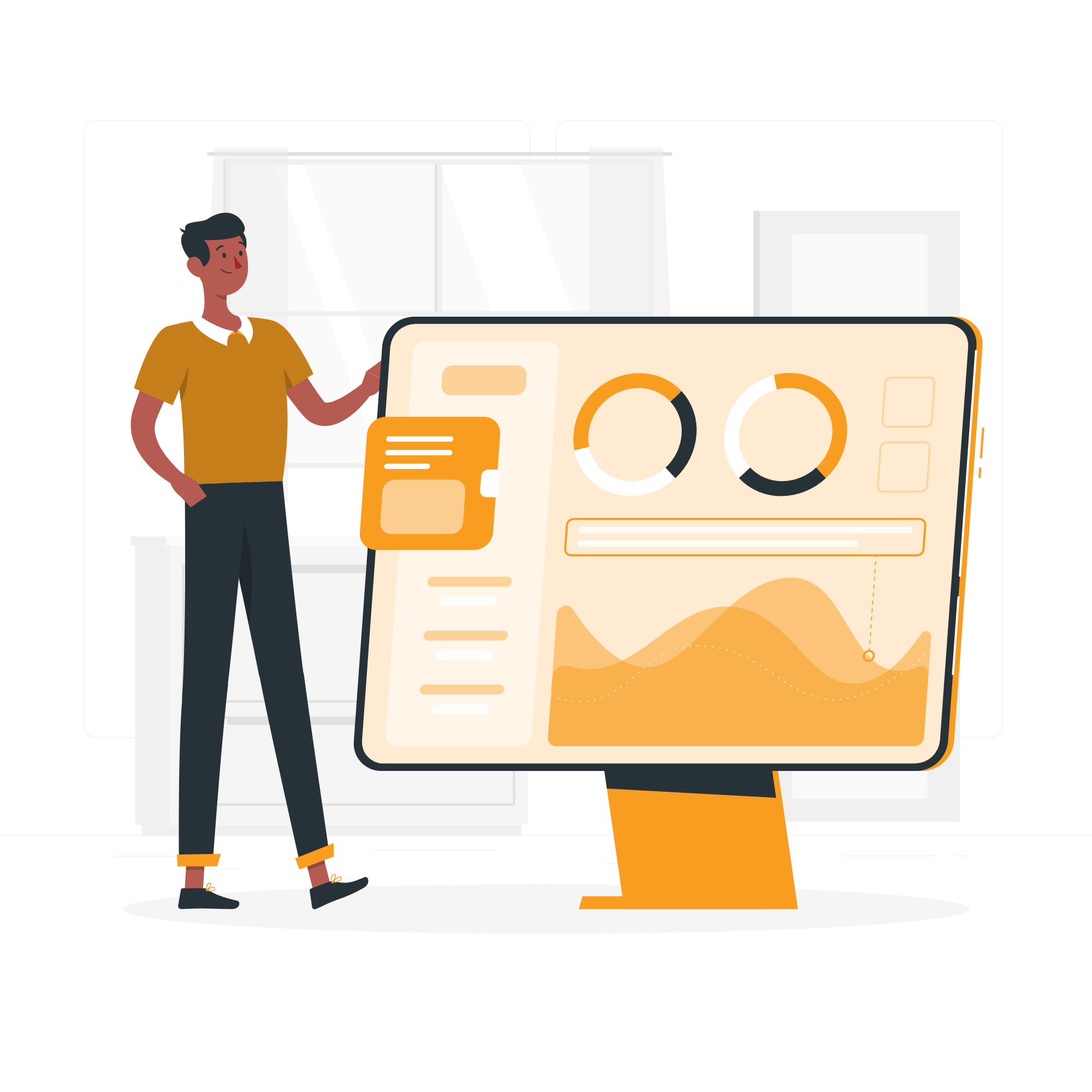
Unlocking Value with AI
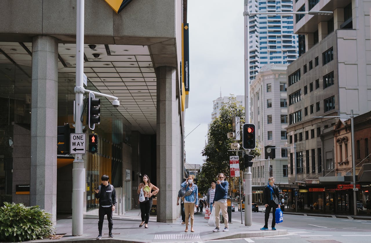
Safer, More Manageable Crowds
Track pedestrian density in parks, public squares, or transit hubs. Detect sudden crowd surges or unusual gathering patterns. Help authorities intervene early to prevent safety risks or manage events.
Smoother Traffic and Safer Roads
Analyze vehicle movement patterns at intersections and busy corridors. Identify congestion patterns and inform timing for traffic signals. Improve road safety and reduce wait times for drivers and pedestrians.

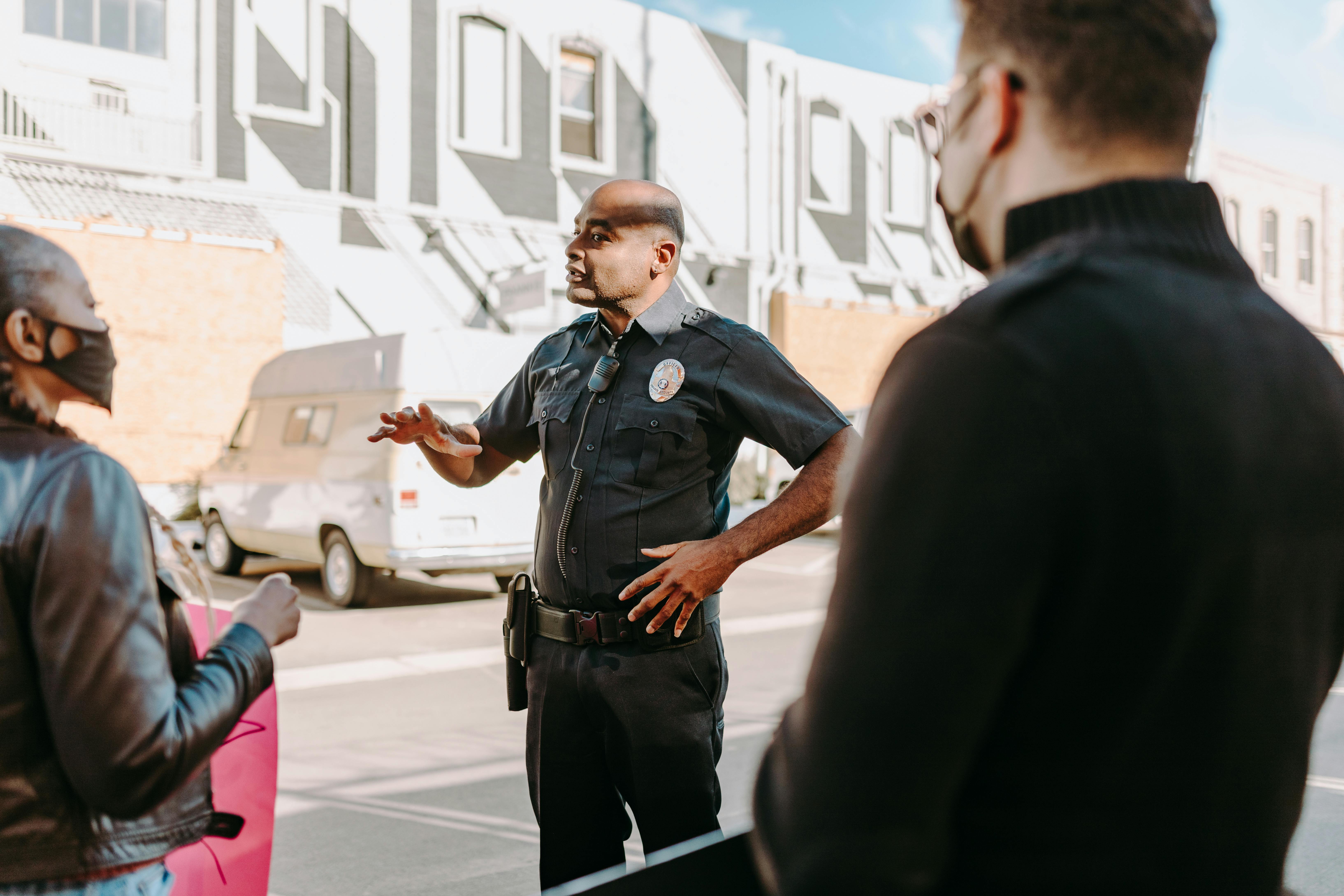
Protecting Public Spaces in Real Time
Use AI to detect loitering, graffiti, or tampering near public facilities. Alert city operators in real time to reduce damage. Protect infrastructure like benches, kiosks, lighting, and signage.
Recommended Solution
AerWatch provides a real-time command layer for urban safety, mobility, and planning — built for scale, privacy, and impact.
Anomaly
Detect abnormal behaviour in real-time, such as loitering, sudden running, or unsafe clustering.
Heatmap
Visualize people and vehicle movement patterns to improve public space planning.
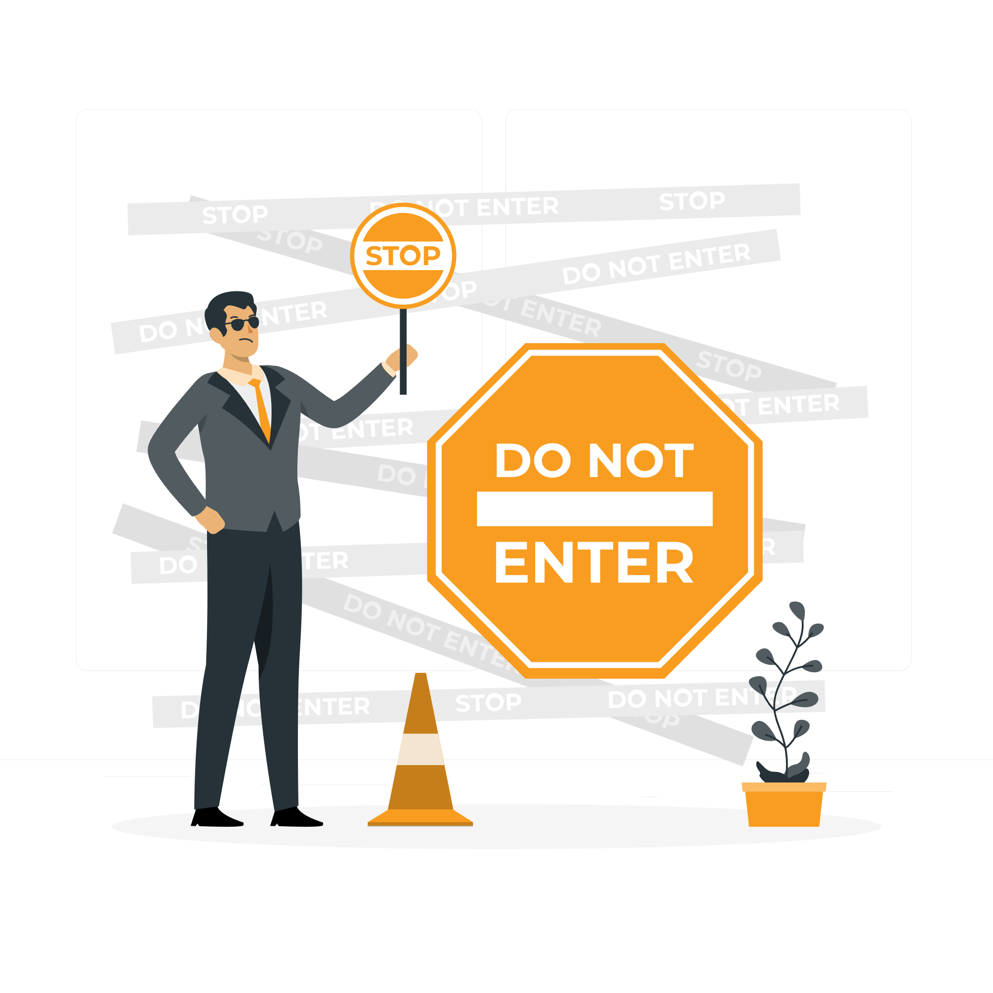
Zone Violation
Trigger alerts for entry into restricted or hazardous urban zones.
Traffic Counting
Track pedestrian or vehicle counts over time to measure urban activity and plan interventions.